
This Sunday will see a mix of sun and clouds during the daytime hours for many across the region. However, the weather is expected to turn more active Sunday evening as a winter storm approaches from the west.
The National Weather Service has issued a Winter Storm Watch beginning at 9:00pm on Sunday evening until 6:00am Tuesday morning. This watch covers most eastern counties and has now extended into parts of central Nebraska as well. The incoming system is expected to bring a combination of snow, rain, freezing rain and icy conditions that could significantly impact travel.
Forecast models are in agreement that the timing of the snow will start in central and northern parts of Nebraska Sunday night before shifting south and east. Southeastern Nebraska will likely see initial rainfall that changes over to a wintry mix before transitioning to all snow by Monday morning and afternoon. The snow is then expected to continue overnight into Tuesday morning before moving eastward into Iowa around midday Tuesday.
Snowfall totals are still being fine-tuned but current projections as of Saturday evening suggest the highest amounts reaching 4-6 inches or greater. Some localized areas under the heaviest bands could see isolated totals up to 7-8 inches. The exact amounts will depend on how much initial rainfall occurs across southeastern Nebraska before changing over to snow. More initial rainfall could mean lower snow totals and vice versa. The Storm Alert Team will continue monitoring closely and providing updates.
Behind the winter storm, breezy northwest winds from 20-25 mph are expected on Tuesday, with gusts possibly reaching 40-45 mph in southeastern zones. This could result in reduced visibility and blowing snow on top of the expected snowfall accumulation.
Looking ahead, next week’s system is not the only chance for wintry weather. Additional smaller chances for snow are possible later in the week. Along with these snow chances will come a blast of cold arctic air. There is high confidence that temperatues will dip below normal levels from January 12th-16th, with lows falling well into the negatives. Dangerously cold wind chills from -25 to -35 are possible next Friday and Saturday.
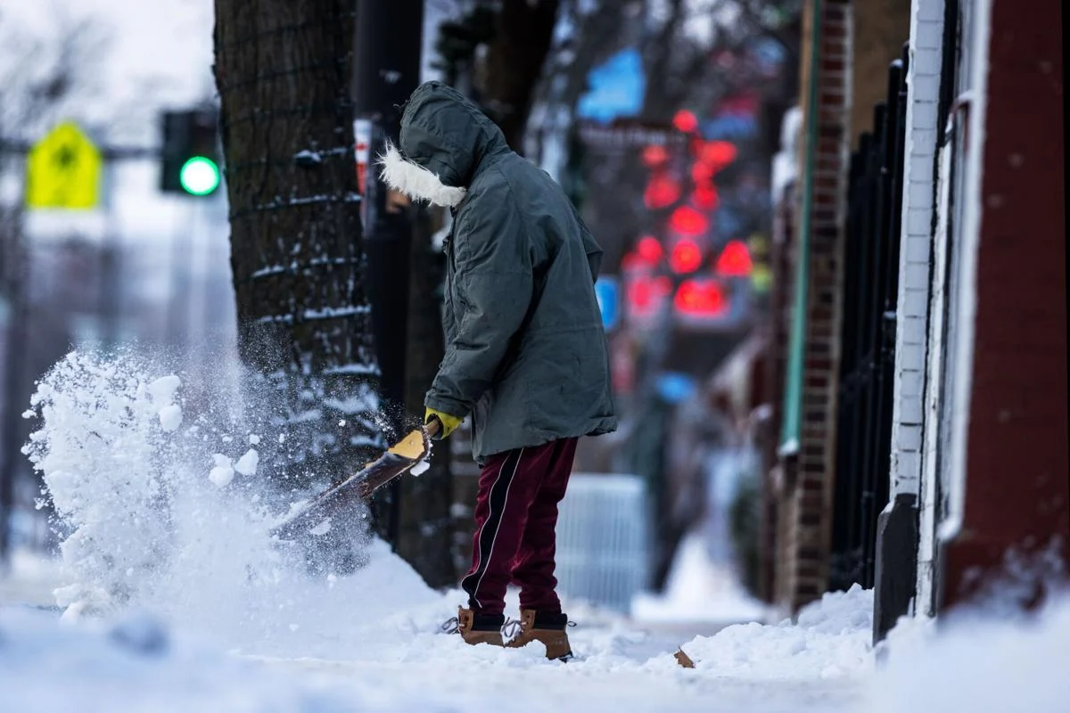
Residents are advised to prepare now for difficult travel conditions Sunday night through Tuesday morning. Drivers should plan extra time, exercise caution, and pack emergency supplies. The potential exists for downed tree limbs and power outages in heavy wet snow. Anyone planning to be outside for extended time periods should take proper cold weather precautions next week as bitter wind chills pose a significant risk. Stay tuned to your First Alert Weather Team for the latest updates on timing, totals and impacts from the incoming winter storm and Arctic outbreak.


