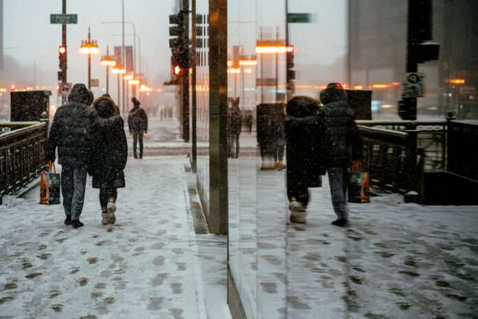
A dangerous winter storm is setting its sights on Washington state this week, threatening flooding, hurricane-force winds, several feet of snow and even the chance for thundersnow.
The impending “bomb cyclone” storm comes on the heels of record December warmth and has prompted urgent warnings from forecasters and emergency officials. Drivers are being told to avoid mountain passes at all costs due to whiteout conditions, while coastal communities are preparing for major flooding and erosion.
“This is likely to be one of the most impactful systems we have seen in a long time,” said National Weather Service meteorologist John Sampson. “People across Western Washington need to be getting ready for a wild ride.”
Colossal Amounts of Snow for the Cascades and Olympics
The storm’s fury will first target the mountains beginning Monday night and intensifying Tuesday. Up to 5 feet of snow is predicted to bury the Cascades, Olympics and other peaks above 2,000 feet. Wind gusts over 60 mph will lead to zero visibility and Hoyo conditions at times.
“We cannot stress enough how dangerous this snowstorm will be in the high country,” Sampson said. “Not only will the snow be measuring in feet rather than inches, but hurricane-force wind gusts will create whiteout conditions.”
On top of the heavy snow, winds could cause tree damage and lead to avalanches and debris flows in steep terrain.
A rare blizzard warning has been issued for the Washington Cascades beginning early Tuesday morning. The Olympic Mountains are also under a winter storm warning. Officials say mountain passes could be impacted for days after the storm passes.
Flooding and Hurricanes Winds for Western WA
While the mountains take the brunt of the snow, lower elevations will get drenched with up to 3 inches of rain accompanied by powerful winds. Gusts up to 60 mph are possible along the coast and North Sound. A high wind warning is in place across Western Washington from 10 p.m. Monday night through Tuesday evening.
“This is a serious high wind event that could lead to power outages and downed trees,” said Sampson.
The strong winds combined with heavy rainfall will significantly increase the risk of flooding and landslides across the region. Many rivers are expected to reach flood stage, including the Skokomish, which feeds into Hood Canal.
Major coastal flooding is also likely with the highest tides of the year aligned with the storm. Most at risk are coastal communities from Grays Harbor to the San Juans and points farther north. Seas building to over 30 feet will heighten erosion and overwash concerns.
We’re looking at only minor tidal flooding in most locations, but given the damage we have already seen during prior storms, this event could further erode beaches and infrastructure,” Sampson said.
Lowland Snow Possible for Seattle Area
As the storm’s cold front blasts through on Thursday, temperatures will take a tumble. Highs on Friday may not get out of the 30s across Western Washington – about 15-20 degrees below normal.
Overnight lows are forecast to drop into the 20s and possibly upper teens Friday and Saturday nights across the interior lowlands. With any lingering moisture, light accumulations of snow are possible across areas that normally don’t see it.
“There’s still some uncertainty on snow amounts for the metro area at this time,” said Sampson. “But confidence is increasing that we could see the first lowland snowfall of the season.”
Late week snow chances in Seattle and Portland are around 40%, higher east toward Spokane and Boise where several inches could pile up. While forecast models differ on totals, meteorologists say its best for Western Washingtonians to prepare for slippery travel Thursday night through the weekend.
Preparing for Power Outages, Slick Roads
Emergency management officials are urging residents across the Pacific Northwest to prepare emergency kits and plans ahead of the back-to-back storms.
Having flashlight, batteries, nonperishable food and water on hand will be critical in case of power outages or being stranded in your vehicle.
Those living in flood and landslide prone areas should know evacuation routes and have go bags at the ready with essential documents and medications.
The Washington State Department of Transportation also warns drivers to stock their vehicles with traction devices, tire chains, blankets and other emergency supplies when traveling at high elevation mountain passes. Additional trucks have been deployed for avalanche control in risk areas.


